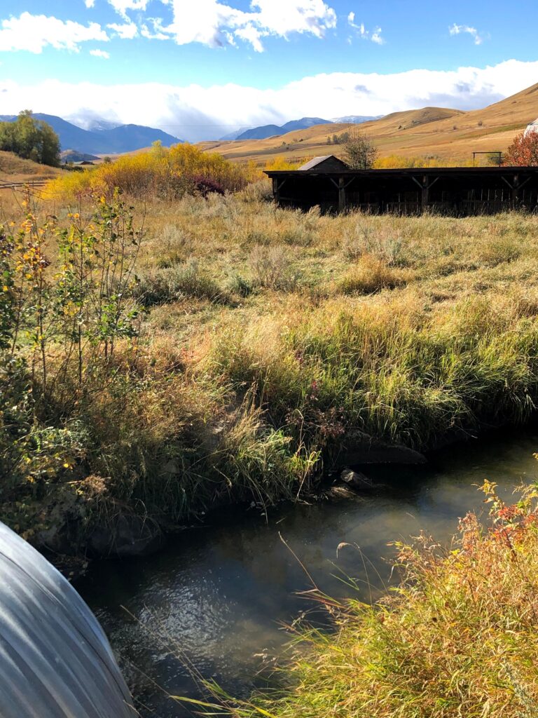
Our team is working to design and deploy a portfolio of GIS tools for the Stillwater Valley Watershed Council, focusing specifically on the Rosebud Creek. In its headwaters, the Rosebud Creek is a designated National Wild and Scenic River. Land use in the lower reaches of the Rosebud Creek’s riparian corridor has gradually transformed in the past decades. Cattle grazing and hay production remain the dominant land uses, along with an increase in unsewered residential and recreational property development near the creek. Our team is conducting a geographic analysis of land use change and its potential effects on water quality. The map products our team is building will help the Watershed Council inform the public about the status of the river and encourage dialogue about the watershed’s health.
COLLABORATORS
Stillwater Valley Watershed Council | Website
PROJECT DELIVERABLE
STUDENT RESEARCHERS

Katherine Tucker, Research Assistant|Katherine is a Master of Environmental Management candidate at the Yale School of the Environment specializing in Water Resources Science and Management. A native of Woodstock, Vermont, Katherine decided to study watersheds after her community flooded during Tropical Storm Irene. She received her BA in Geography and History from Bucknell University, where she studied the environmental history of transboundary Vermont/Quebecois watersheds. Prior to Yale, Katherine worked as a GIS Technician for the City of Thornton, Colorado, and loved exploring the Rockies. She sees potential at the nexus of equitable community water management and citizen driven data science. A former Girl Scout Camp Counselor, she is passionate about encouraging young women to explore STEM careers. See what Katherine has been up to. | Blog
Madhura Garav, Volunteer