Click on the image to read the full post.
The following is an excerpt from the post:
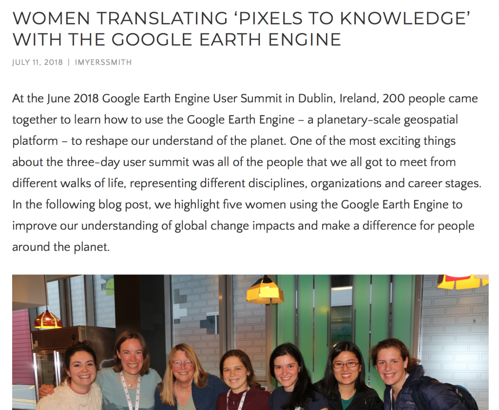
SABRINA SZETO
Geospatial Analyst, Ucross High Plains Stewardship Initiative
Master of Forestry, Yale School of Forestry & Environmental StudiesThe Ucross High Plains Stewardship Initiative is a research program at Yale which fosters science-based land management across the intermountain American West. We partner with land managers such as ranchers and conservation organizations to work on questions about wildlife habitat, soil carbon, invasive species and achieving management goals for working lands. As a geospatial analyst, I make maps and build tools using both field and earth observation data to answer those questions. I also work closely with graduate students to help them harness the power of platforms like Earth Engine for their own research. At this year’s summit, I presented a lightning talk on how we are building a community of Earth Engine users at Yale University. We are doing that through a combination of peer-teaching, outreach and student mentorship in collaboration with a graduate course on geospatial software design taught by Professor Dana Tomlin.
I want to use geospatial analysis and earth observation data to tackle social and environmental challenges. As someone who studied both anthropology and forestry, I am curious about the way natural and social systems interact, and how human values impact the management of ecosystems. We live in an era of unprecedented change and resources as the increasing amount of data and processing power available makes new questions and new answers possible. Anyone with an internet connection can calculate global forest loss by year with a few lines of code on Earth Engine. Seeing the wide variety of challenges that are being addressed by developers on Earth Engine gives me hope that we can actually beat the tide on these issues. How? By turning data into useful information that can be acted upon by decision-makers.
I was particularly excited about now being able to publish apps built using the Earth Engine User Interface functionality with the click of a button. This will extend the impact of our tools as it has made updating and maintaining them a lot easier. Land managers who may not be expert GIS users or programmers can now easily access the results from our tools. I was also glad to see the interest in starting up other user groups in other organizations and universities, and have been in contact with other fellow conference attendees who are leading such initiatives. Seeing people take the new skills they learned during the conference and implement them into prototype solutions during the hackathon was inspiring to me.