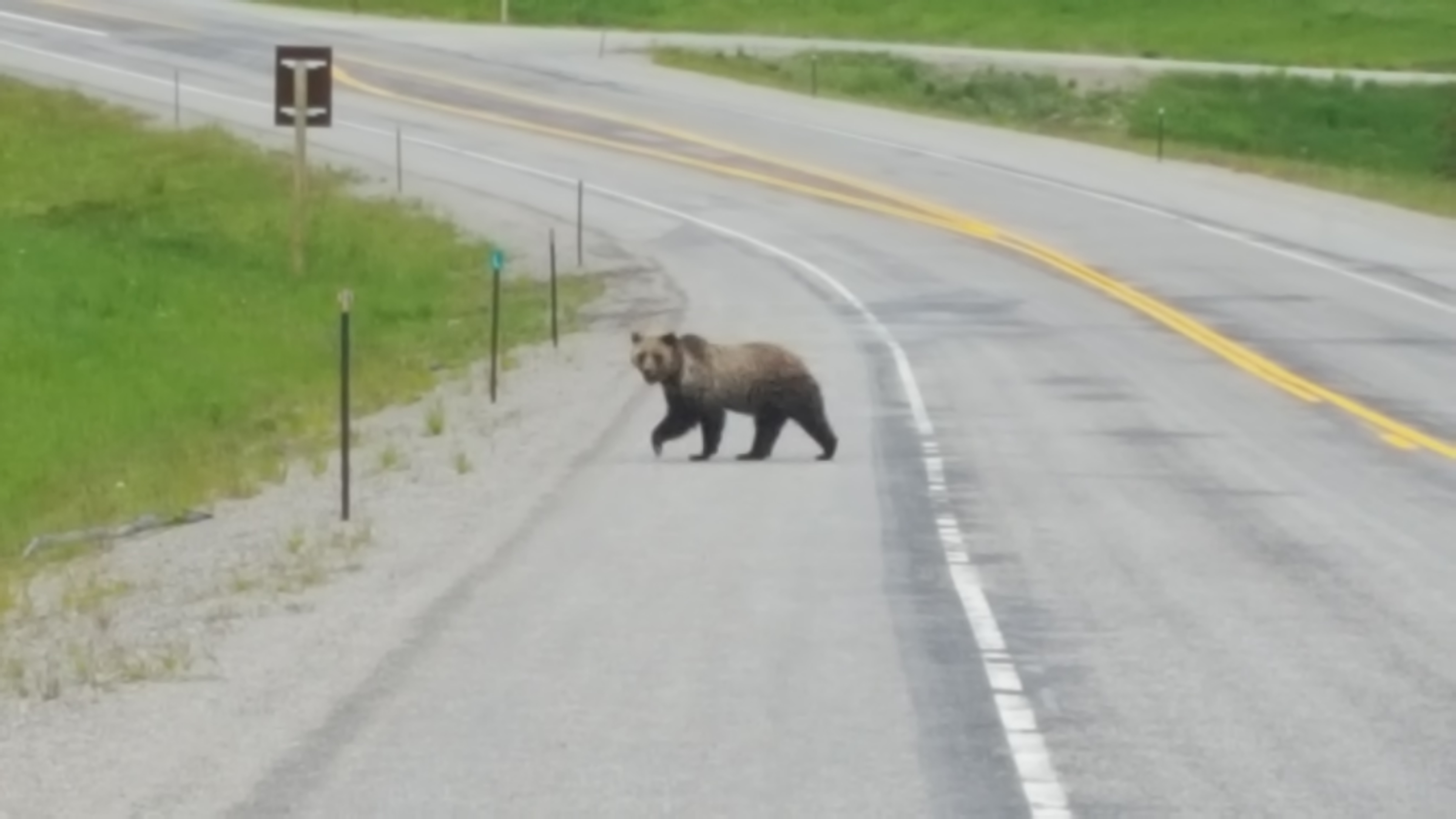
Finally saw my first Grizzly in Bridger-Teton National Forest
With the goal of better understanding the potential tradeoffs between the flow benefits of water-use efficiency projects (agricultural irrigation conversions) and potential wetland/wildlife impacts in the Popo Agie watershed, my summer research focused on the feasibility of a decision support software (DSS) tool that would help land managers connect the innumerable variables involved. I began with an extensive literature review focused on all different areas of study – agriculture, irrigation, soil science, groundwater, instream flow, water rights and law, wetland ecology, remote sensing, and computer modeling. Then I focused on a DSS needs assessment, as in, what data or knowledge would we need to make a functional decision support tool? The main needs were identified as a full water budget analysis (including surface and groundwater) crop consumptive use analysis, water quality analysis, and wetland mapping, identification, and classification. The next logical step was to assess existing data for appropriateness and utility. It became apparent that certain components of any future model would be reliant upon new or updated datasets. First, although there was a Popo Agie Level I study completed in 2003, it is now quite aged and in need of a thorough update. A new study should aim to include a more comprehensive water budget analysis that includes groundwater measurements as well as groundwater flow mapping. Additionally, it would be vital to gain more understanding of Popo Agie watershed-specific return flow rates and return flow timing. Lastly, another imperative data need would be the re-mapping and re-classification of Popo Agie wetlands, ideally with additional functionality included. Existing National Wetlands Inventory (NWI) data was poorly developed and is not tenable for a DSS tool. This could be completed in various ways, mostly likely through NWI+ watershed mapping or through remote sensing technology (identifying and mapping wetlands through spectral analysis).
Ultimately, it is not my responsibility to create this DSS tool, but as part of the feasibility scoping process I spent time conceptualizing a theoretical model. This exercise helped me better understand and relate the many variables and further identify knowledge gaps. It also helped me make better recommendations concerning functionality, efficiency, and simplicity. This conceptual model was cross-checked by my working group of regional experts – land managers, spatial ecologists, hydrologists and software designers. I have now started writing a full in-depth feasibility report that will be completed sometime in the Fall. Lastly, it is worth mentioning that I will be presenting my research and model concept to the EPA Region 8 Wetlands Conference in Boulder, CO in early October.
Another great experience of this summer was participating in the ATLAS Working Group. ATLAS (at the Lander Arts and Sciences) is a community project group that integrates Lander’s vibrant art and science organizations with projects and programming all over Wyoming. I was asked to attend and represent TNC, but also to try to persuade the other working group members to focus their next big project on the watershed or water issues. After a couple of meetings, I succeeded and they will now be integrating art and science around the concept of water in general, but with a focus on the water issues of the Popo Agie watershed.
Lastly, for the Wyoming adventures update…
– Visited the University of Wyoming – National Park Service Research Station at Jackson Lake Lodge to talk and learn about large mammal migrations
– Explored the Big Horn Mountains and Tensleep Preserve with the rest of Ucross throughout our retreat weekend
– Experienced the very famous 4th of July shenanigans of Lander (regular citizens are allowed to buy professional grade fireworks and drink alcohol in the streets starting at 11am, resulting in the entire valley going off like a warzone)
– Camping, camping, camping, all over
– Horseback riding in Grand Teton National Park
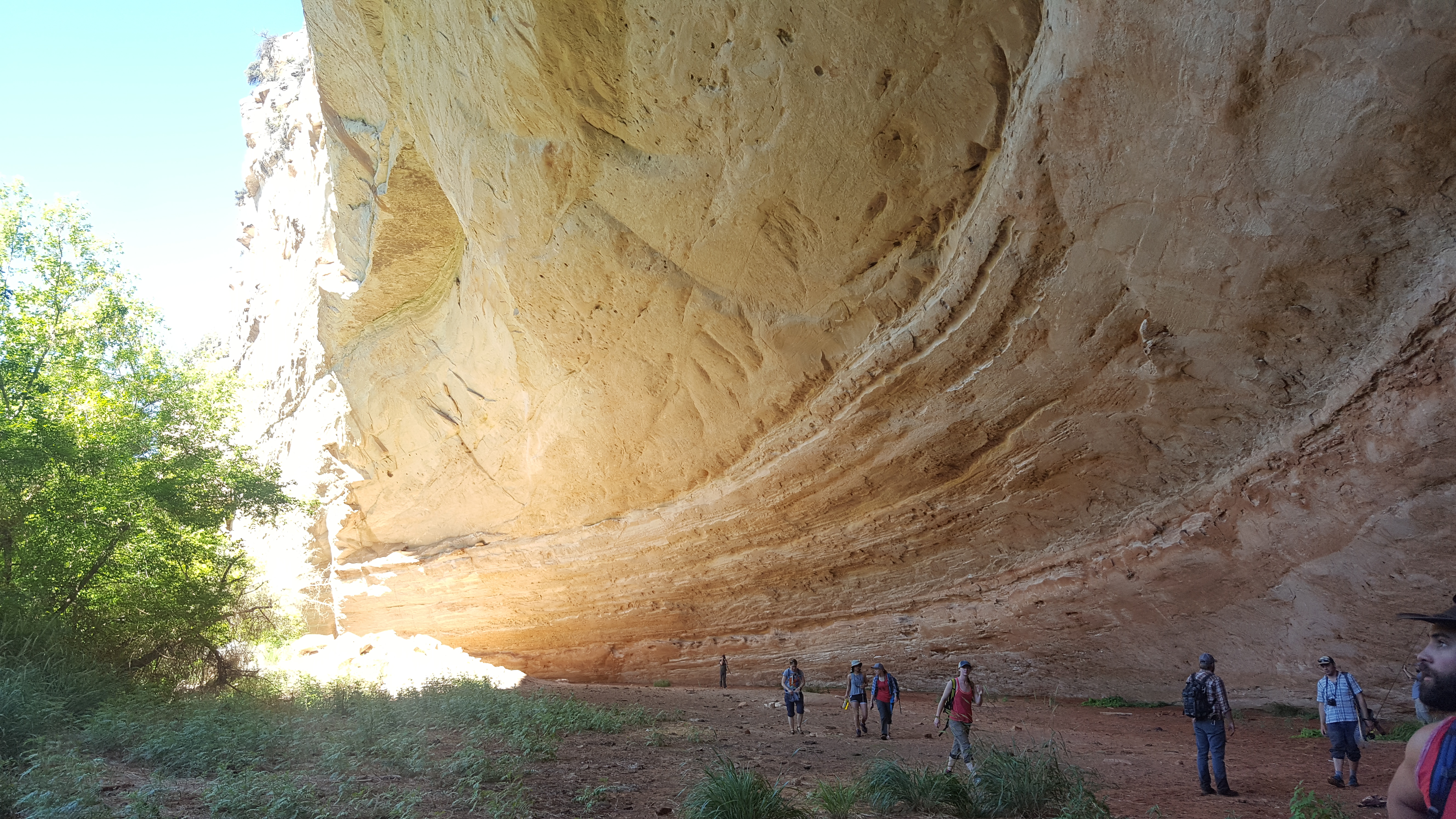
– Backpacking in the Wind River Mountains
And still to come before I drive back to New Haven…
– 5 day stint running Lander’s Slow Goat farm by myself (I am a goat milking machine now!)
– Stay/explore TNC’s Heart Mountain Ranch
– Backcountry camping in Yellowstone National Park
– Oh, and THE ECLIPSE in Lander
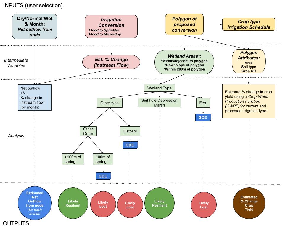
My preliminary model concept that helps highlight the trade-offs of agricultural irrigation conversion in the Popo Agie watershed.
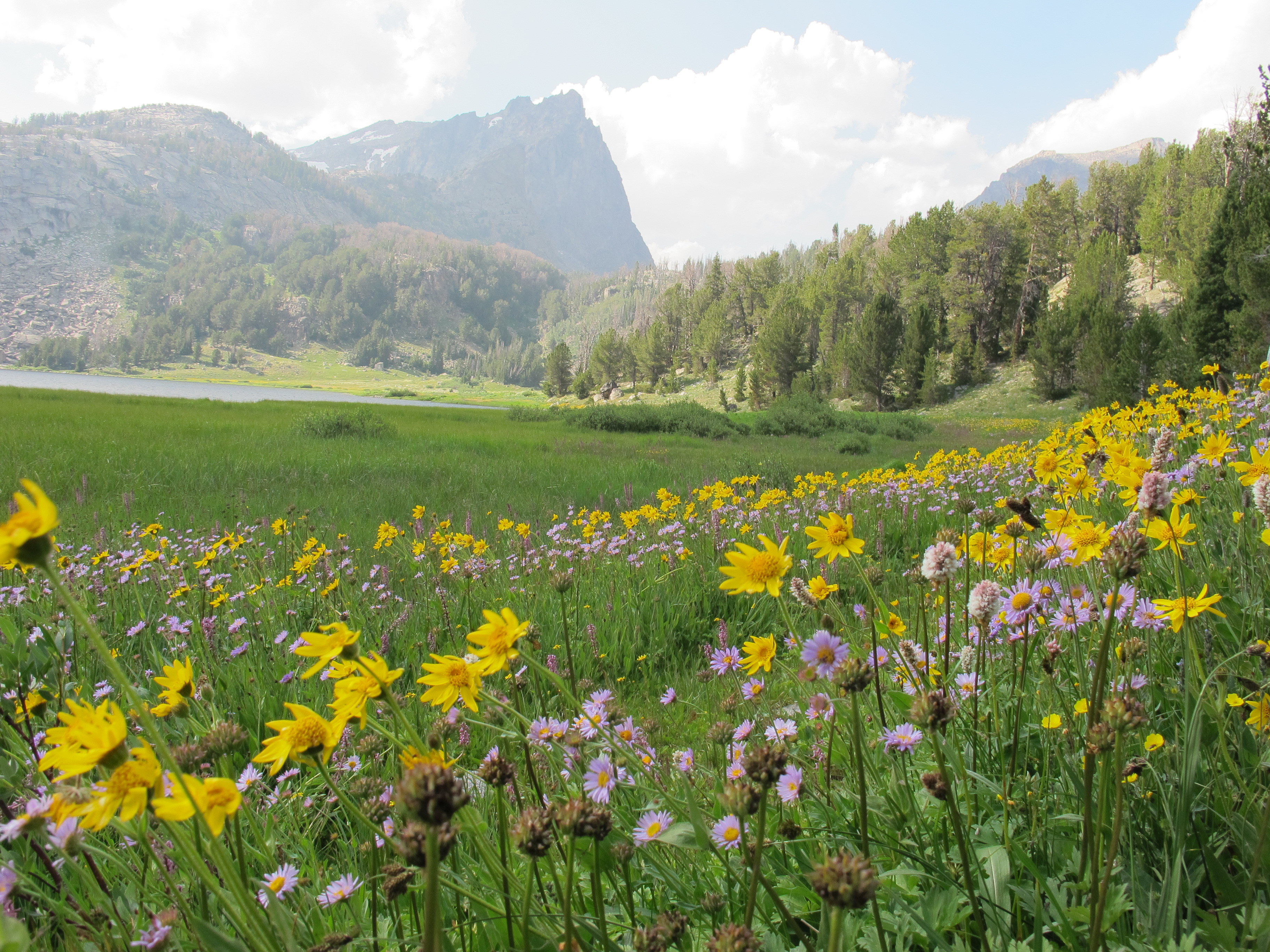
Big Sandy Lake, Wind River Range
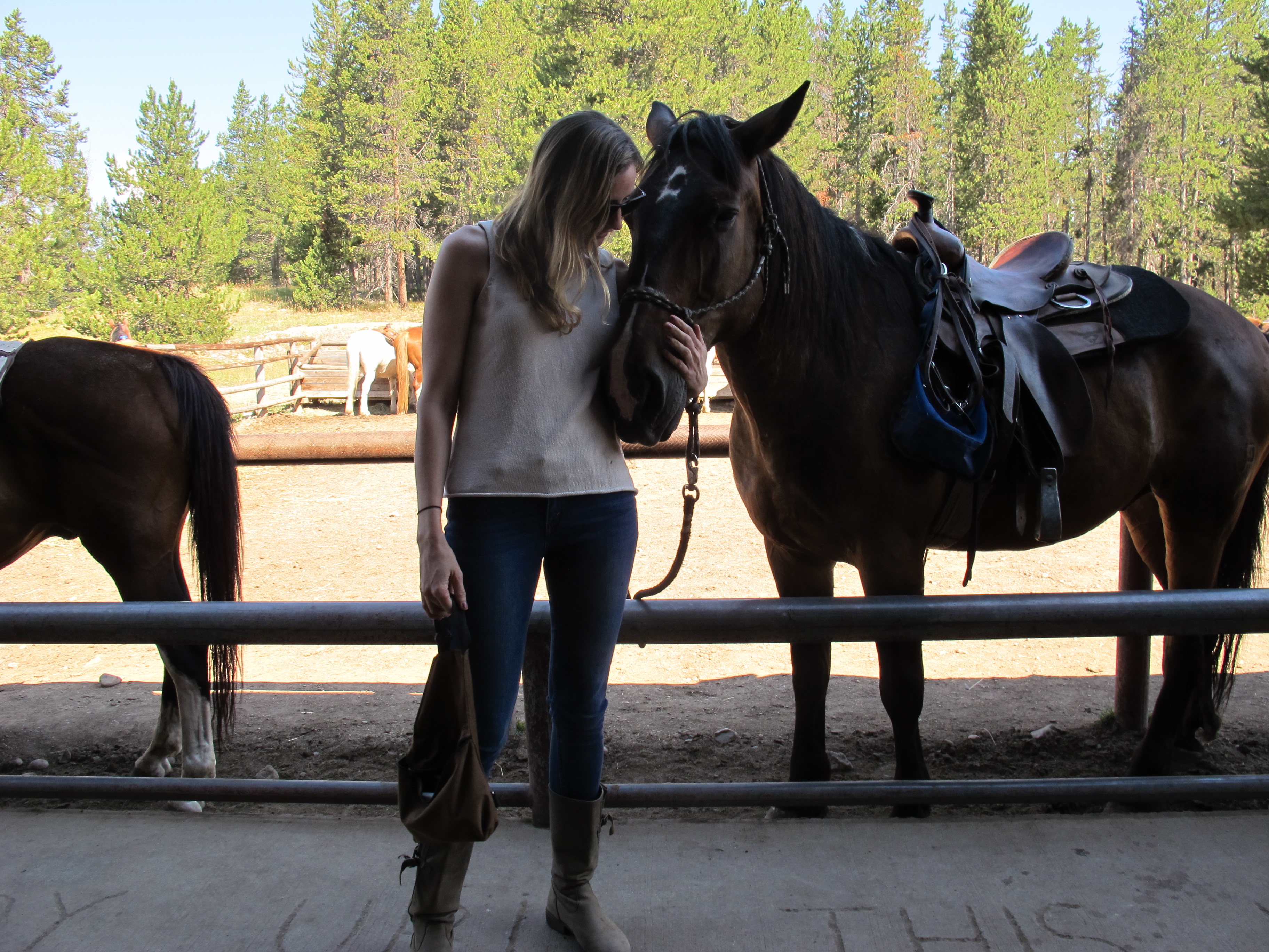
Hoback, my sweet horse friend
Ucross Western Research Fellowship Retreat