When working on a landscape the size of the Ucross ranch (which is approximately 23,000 acres), the detection and monitoring of invasive species becomes an important step to creating management strategies used to control them. With limited person-hours, managers must look for alternatives to spending endless hours scouring landscapes for these noxious species. Luckily, it is now possible to sit at a single computer station, select a species of plant that one wishes to monitor across a landscape, and then use relevant satellite imagery taken from outer space![]() to detect the most likely areas containing that species.
to detect the most likely areas containing that species.
Of course, access to the kinds of software and computer tools necessary for this analysis itself constitutes a limiting factor for land managers attempting to use these techniques. Much of the software on which this workflow occurs takes many years of training to use effectively; furthermore, because the software is proprietary, it remains cost prohibitive for many private land-owners and managers. Acknowledging this reality, the UHPSI team is working with Google to develop a suite of tools that would be accessible — to anyone in the world with an Internet connection and a Google account — via their upcoming platform titled Earth Engine. Our research team endeavors to design and present these tools in such a way that land managers around the world (regardless of any previous training in statistics or remote sensing) could utilize their analytical power. These tools can help a land manager rapidly scan very large land areas to pinpoint potential zones of problematic vegetation.
These tools can help a land manager rapidly scan very large land areas to pinpoint potential zones of problematic vegetation.
The actual processes taking place in this workflow are similar to the land-coverclassification (as described here) but with some notable differences. Instead of using the WorldView-2 satellite that captures light across 8 different sections (“bands”) of the electromagnetic spectrum, the invasive species detection research will use a different satellite and sensor: the EO-1 (i.e. the Earth Observing-1 Mission) satellite, which is part of NASA’s New Millennium Program, that holds the Hyperion Sensor. This sensor produces a “hyperspectral” image captured from light across 242 bands (contrasted with images from a multispectral satellite sensor like WorldView-2 or Landsat that contains only 8 bands). The incredible specifity of each band (as well as the fact that there are 242 of them), combined with larger range of electromagnetic spectrum that’s covered, results in a truly detailed set of information for the land shown in the satellite image. Using this massive amount of information, which researchers commonly term “data” due to its use in subsequent analytical techniques, the researchers can detect incredibly minute differences between different areas of vegetation. Essentially, if a normal picture is worth a thousand words, these new images are each worth eighty thousand words (for they contain that much more information than a standard photograph).
The math itself used to parse through this massive amount of data is as advanced as the technology that captures the images from space. To explain, human beings are used to experiencing the world in 3-dimensions (4 if one counts “time”). Analyzing the 242 band image described above would be equivalent to exploring a world in 242 dimensions, again highlighting the level of detail one can harness to disintegrate much the complexity involved in locating vegetation types of interest. These 242 dimensions can be employed to sift through “image noise”, which is the equivalent of static in a radio signal or a TV signal. After all, light that has traveled hundreds of miles after being reflected from the leaf of a plant loses its straight path along the way, scatters through the atmosphere, and sometimes reports back slightly inaccurate values to the satellite. Linear algebra, or matrix mathematics, provides the foundation for these techniques.
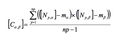
Linear algebra forms the basis of the mathematical operations used in this analysis; this formula describes the process by which various aspects of the “image noise” are calculated.
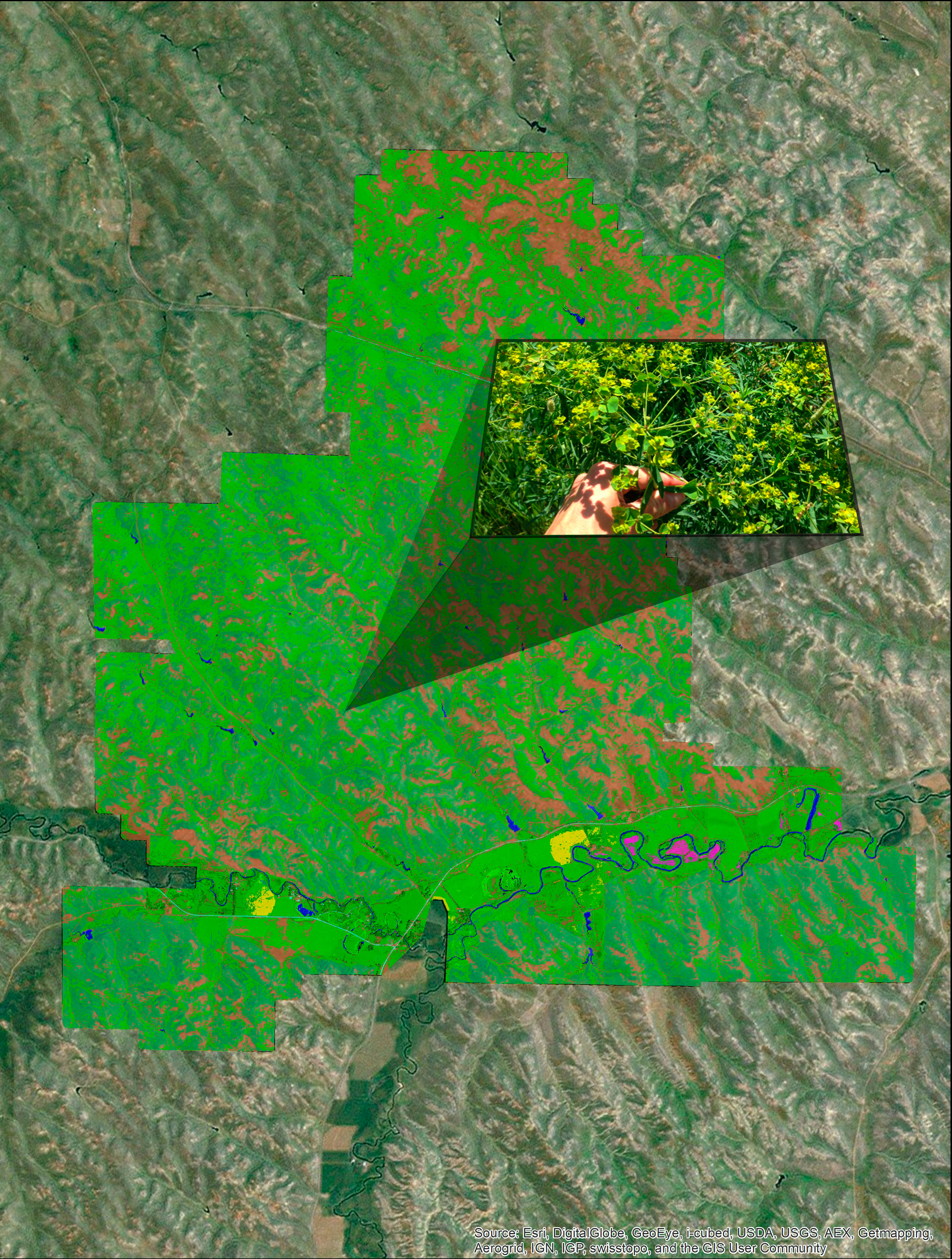
Perhaps the most exciting aspect of this research is its transposability. The UHPSI team has chosen leafy spurge (a noxious weed that displaces native grasses) as the central invasive species of interest to automate the steps of this process within Google Earth Engine. These techniques can be applied literally to any vegetation in the world, however, and for any purpose (invasive species control or otherwise); furthermore, the techniques could be applied to any “surface” of the world, e.g. geological interests such as soil or rock cover. Though the UHPSI team is refining these techniques with ranchers in the American west specifically in mind, we hope managers and professionals around the world can one-day use the fruits of this research labor to promote good land stewardship in a variety of ecological settings.