May is here, bringing with it the end of a semester and the end of my time working as a UHPSI Research Assistant in collaboration with The Nature Conservancy Wyoming’s Tensleep Preserve. Even as Wyoming has been re-blanketed in snow, every maple and oak tree in New Haven has spun out fresh fractals of green leaves. If I squint out my window, it’s easy to believe that this is the exact same Connecticut that I arrived in last August. That the semester is just beginning, rather than ending.
It’s especially easy to believe that because of how fast my time working on this project has gone by. From its onset, the core goal of my Research Assistant position has been to develop a beaver dam monitoring plan for the Tensleep Preserve that can provide data on both the health of the local beaver population and the effect of beaver dam building on streamflow. Back in September, looking out at a blank canvas of seven months, I was excited about the potential for exploring creative ideas for identifying individual beavers or developing an interactive mapping tool for evaluating the impact of beaver dams in Canyon Creek.
Then I blinked and the leaves were gone. After two months of literature review, I had not only learned about aerial cache surveys, rating curves, and the fierce debate over how beavers alter streamflow, but also been reminded about what can realistically be accomplished in four to eight hours a week squeezed into the semester.
With that foundation, I have spent my project time this past spring weaving this web of scientific research, methodologies, and natural history into a coherent and easy-to-read document: The Nature Conservancy’s Tensleep Beaver Monitoring Plan.
The plan consists of three separate monitoring protocols that Tensleep staff and volunteers can use to gain a baseline understanding of the key questions related to the local beaver population:
- Stream Discharge – Monitoring the impacts of beaver dams on streamflow is complex, particularly when there is no baseline of data from before dam construction. Given the lack of this baseline data at Tensleep, the next best approach is to identify a reference stream (or several) that approximates what the conditions of the beaver dam complex would be without the impacts of beavers. By comparing the changes in streamflow along a section of the beaver-impacted stream section with the non-beaver-impacted stream section(s), it’s possible to estimate the effect of the beaver dams. This protocol also explores best practices for the deployment of water level data loggers at Tensleep that would provide a much deeper sense of how these effects play out over the course of seasons and years.
- Beaver Lodge Surveys – Understanding how many beavers make up the colony at Tensleep and how that number changes over time can provide a sense of the health of the local beaver population. Is it growing or shrinking? Are the kits surviving and successfully dispersing away or are they dying young? Section 3 of the Monitoring Plan details a protocol for volunteers to conduct dusk and dawn surveys from multiple vantage points around the beaver lodge to better understand these questions.
- Beaver Sign Surveys – In addition to monitoring the lodge itself, the monitoring plan also includes a protocol for volunteers to survey upstream in the Tensleep Preserve for any signs of dispersing beavers or the development of new colonies. This will not only provide a fuller understanding of the local beaver population, but also allow for the quick identification of new dam building so that streamflow measurements can be collected.
Each of these protocols is accompanied by datasheets and other resources linked in the monitoring plan to make it as easy as possible for data collection to begin at the Tensleep Preserve. Furthermore, the final section of the document delves into potential future directions for beaver monitoring, including the use of multi-spectral drone imagery to understand the impact of beaver dams on riparian vegetation and the possibility of leveraging camera traps to identify individual beavers using photos of their tails. As Trey Davis—TNC Wyoming’s Eastern Wyoming Stewardship Director—kindly reminded me a few times over the past year, this monitoring plan is one part of a broader tapestry being woven at Tensleep to understand the rippling effects of beavers in Canyon Creek. My role in this collaboration may have come to an end for now, but I’m thrilled to know that it will be carried on by many others.

This diagram from the beaver lodge survey protocol shows the benefit of having surveyors at multiple vantage points. Surveyors at Vantage Point A can see everything covered by vertical yellow lines. Surveyors at Vantage Point B can see everything covered by horizontal blue lines. Individually, the surveyors at each point may only see one beaver. However, if they compare their notes afterwards, they’ll find that there were two beavers present!
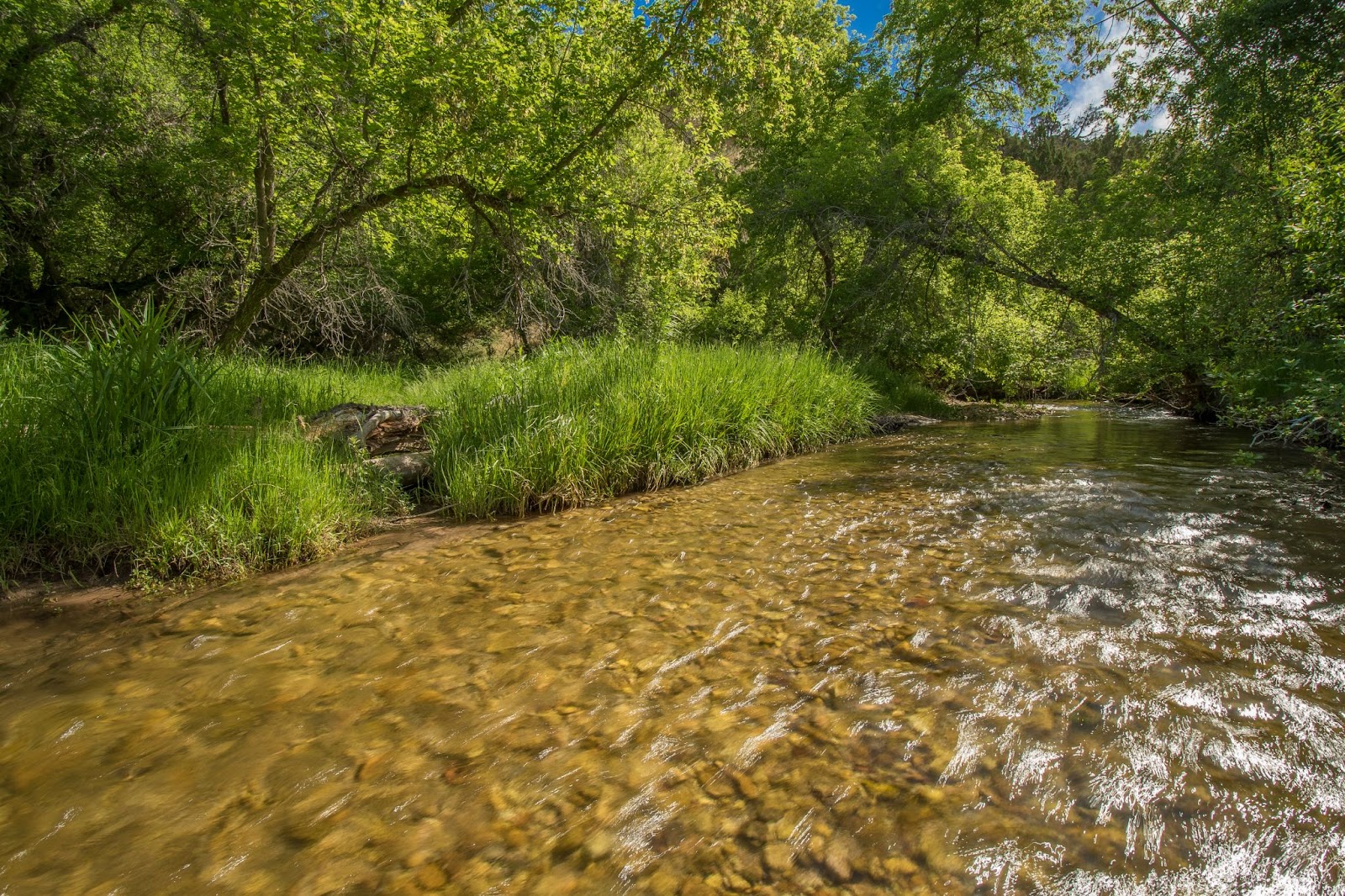
Canyon Creek in The Nature Conservancy’s Tensleep Preserve has long supported a colony of beavers.