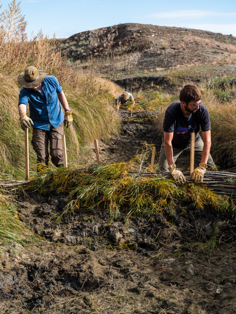
The past year working with the Ucross High Plains Stewardship Initiative has presented a wide range of experiences, connections, and memories that I find carrying me forward on the path of conservation. Throughout this process, our team has been fortunate enough to collaborate with incredible partners such as The Nature Conservancy-MT, World Wildlife Foundation, and Montana Conservation Corps. Our goal throughout the year was to create a geospatial tool to evaluate the impacts of beaver dam analogs installed throughout streams in central Montana. This project was aimed towards accumulating more water in ranching areas to increase plant productivity to support cattle grazing and functioning ecosystems. Having come from an agricultural background, this work holds great value in how I conduct my professional and personal life. Prior to pursuing a Masters of Environmental Management at the Yale School of the Environment, I held a fellowship with Princeton in Africa. This experience paired me with a fantastic agriculture research consortium, called CGIAR, in Nairobi Kenya. While there, I was able to connect with farmers struggling with instances of severe drought and heat, thus causing instability in water accessibility. Being exposed to these environmental struggles allowed me to form a similar connection to the issues of water availability in the American west. Learning from our partners about the impacts of climate change on the landscape has allowed me to understand how environmental issues, even those occurring on opposite ends of the earth, are deeply connected.
In the spring of 2023, our team held a meeting with roughly 25 partners, spanning across all 3 organizations, in which we demonstrated how to utilize this spatial tool. Outputs of the tool include a spatial and temporal analysis of NDVI (Normalized Difference Vegetation Index) and NDWI (Normalized Difference Wetness Index) in a given area of interest. We were able to provide specific information regarding any designated ecosystem on a temporal scale. During this meeting, our team was able to illustrate the uses of this tool and ensure that it was easily handed off to the next user. The partners shared projects in which they believed this tool would be useful for, not only tracking water availability, but in deciding where to place future beaver dam analogs. Our hope is that this tool will provide a standardized method to evaluate the areas around where beaver dam analogs were installed. Overall, this was an incredible project to be a part of and our team was very grateful to be welcomed into the space by TNC, WWF, and MCC. Huge thank you to our wonderful partners, and we are so excited to see the impact of this product!