
INTERACTIVE MAP GOES LIVE
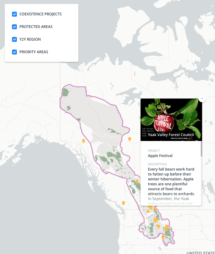
I’m happy to share that my summer fellowship researching human-wildlife conflict has been featured on the Yellowstone to Yukon (Y2Y) website. My research this summer examined strategies for reducing conflict betweeen humans and wildlife in the intermountain west. This work cuminated in an interactive map showcasing 20 innovative strategies to reduce human-wildlife conflict.
The interactive map features a custom basemap with points that allow users to click o and zoom around the map. The goal of the interactive map is to provide an easy tool for learning about new strategies for reducing conflict between humans and wildlife. These strategies fall into categories like attractant removal or adversive conditioning. I collected this data by talking with practitioners throughout the Y2Y region. One of the most exciting projects to is the use of Kariliean bear dogs by the Wind River Bear Institute. Karelian bear dogs are a breed that originate in Finland and are trained from an early age to alert to the presense of bears in high human traffic areas. The dogs are able to detect signs of bears far better than humans can. In doing so they can prevent conflicts and help humans and willdife coexist. Groups that are based in the Yukon Territory can now connect with groups in the Greater Yellowstone Ecosystem. Through dialogue and collaboration they can work more efficiently to impliment new projects to reduce conflict. The tool also provides a resource for the public to learn about human-wildlife conflict. The map is not meant to show every project, but instead it showcase a selection of diverse projects with the goal of adding more in the future.
This map is being managed by Yellowstone to Yukon. If you have questions or comments please send them to ross.donihue@yale.edu. To learn more about Yellowstone to Yukon visit: https://y2y.net/.
Explore the map here.