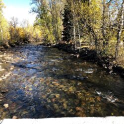
Stillwater-Rosebud Water Quality Initiative
Our team worked to design and deploy a portfolio of GIS tools for the Stillwater Valley Watershed Council, focusing specifically on the Rosebud Creek. In its headwaters, the Rosebud Creek is a designated National Wild and Scenic River. Land use in the lower reaches of the Rosebud Creek’s riparian corridor has gradually transformed in the Read more about Stillwater-Rosebud Water Quality Initiative[…]


